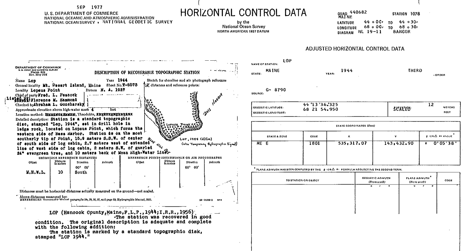
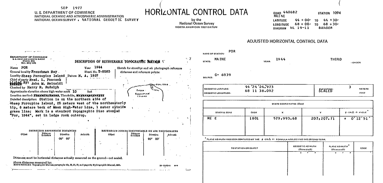
Pre-NGS Survey Data Sheets—Now with Images!
Harold Nelson of MaineDOT has sent along old horizontal control datasheets from Hancock County, Maine. These were developed when the Coast & Geodetic Survey (now the NGS) was a component of the ESSA, Environmental Sciences Services Administration. The ESSA was reorganized into NOAA in 1970.
These sheets are reminiscent of the USGS datasheets, which still exist only in a similar paper format. Note there are only designations, no PIDs—PIDs were not assigned until the NGS database was created and marks were entered. Some of these datasheets contain sketches that do not exist in the online NGS database! (If you’ve ever seen a recovery note that referred to a sketch or drawing, and wondered where it was—well, it was on sheets like these.)
As an example, see the sheet for POR, on Sheep Porcupine Island:
And for LOP, at Lopaus Point: