TT 54 T
TT 54 T
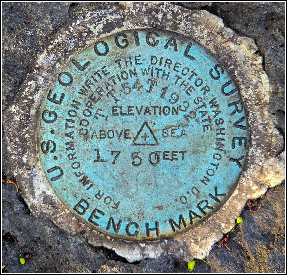
Spatial/elevation data
| Coordinates | N 41.3266° W 75.56783° |
| Elevation | 1729.612 ft. |
| Location | Pennsylvania
Lackawanna County Scranton Quad |
Mark description
| Type | Bench Mark Disk |
| Setting | Boulder |
| Monumented | 1932 by USGS |
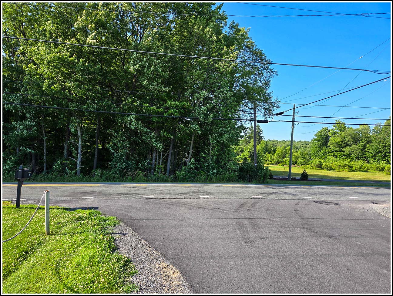
| Description (USGS) | Moscow, 3.2 mi W. of, along State Highway 690; 0.3 mi E. of Maple Lake School; 160 ft NE. of Maple Lake Church; 80 ft N. of hwy.; on property of Joseph Papiernick; in boulder; standard tablet stamped “TT 54 T 1932 1730” |
Narrative and photographs
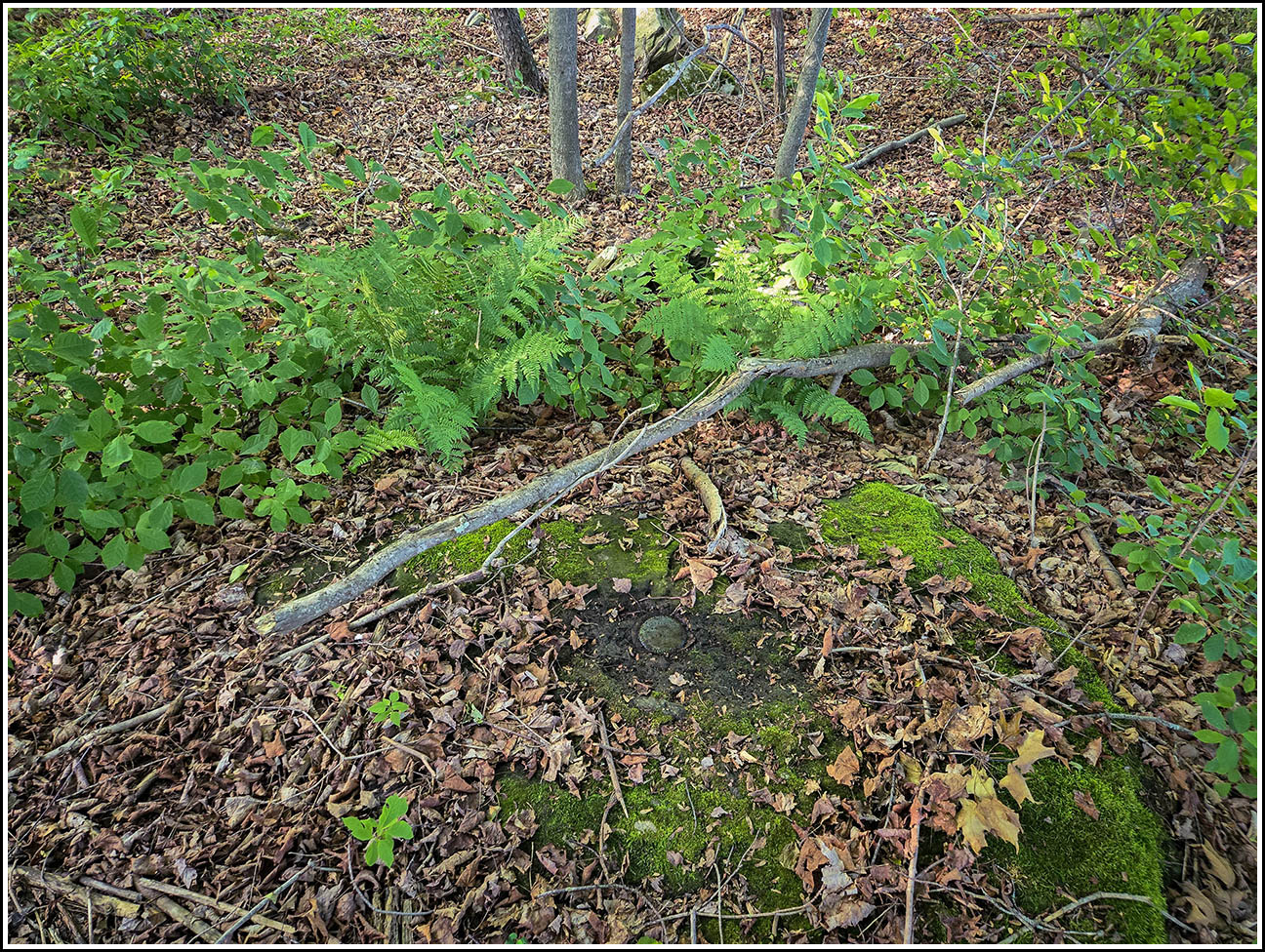
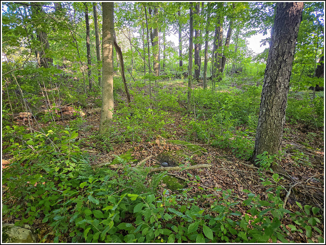
I’ve had this benchmark on my list for a while, and this evening after a run at nearby Lake Scranton I thought I would take a drive by the area to scout it out. I found convenient parking at the church across the street, and headed into the woods. A large boulder was visible from near the edge of the woods, and although it is relatively overgrown with moss, the mark was still easy to locate. I cleared it off using some water and paper towels from the car before taking my photos. The mark is in excellent condition, and it doesn’t appear to be in any immediate danger of being disturbed.
I wasn’t able to locate the reference mark or the boulder on which it was chiseled. There are no visible large boulders 21 feet southeast of the mark; in fact, this distance and direction took me to the very edge of the woods bordering a relatively newly-developed property. It’s possible that the boulder was moved or covered over when the neighboring property was cleared out for construction.
| Designation | Status | Condition | Image |
|---|---|---|---|
| TT 54 T RM | Not Found | Unknown (Not Found) |

|