LITTLE DEER ISLE RESET
Spatial/elevation data
| Coordinates | N 44.2864° W 68.708175° |
| Elevation | 220 ft. |
| Location | Maine
Hancock County Sargentville Quad |
Mark description
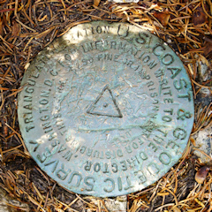
| Type | Triangulation Station Disk |
| Setting | Rock Outcrop |
| Monumented | 1905 by NGS |
| Description (NGS) | NGS Datasheet |
NGS recovery information
Descriptive text
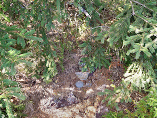
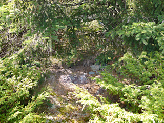
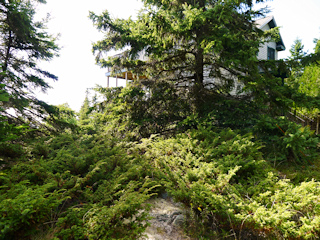
The station mark and reference marks 1 and 2 were recovered in good condition on outcropping bedrock as described. The to-reach is adequate with the following additions – The marks are located at the southern end of Mourning Dove Lane. There is now a private cottage on the property near the marks. The property owner is aware of the location of the marks. Handheld GPS coordinates for RM 1 are 44 17 11.4(N) 068 42 29.2(W). Handheld GPS coordinates for RM 2 are 44 17 11.0(N) 068 42 29.6(W).Narrative and photographs
Our survey mark hunts have introduced us to many new and fascinating places, and many kind and interesting people (and some not-so-kind people, but we try to forget about those encounters). LITTLE DEER ISLE RESET was a positive experience all around!
When we realized we’d be spending a day in Blue Hill, we naturally searched the maps and datasheets for interesting survey marks in the area. A log on the Geocaching.com page for LITTLE DEER ISLE RESET indicates that the owner of the property containing the station is aware of the marks and participates in their stewardship. Cool! This made a trip to Little Deer Isle all the more intriguing for us, and we added it to our list of activities for today.
After a hike at Blue Hill Mountain and several other benchmark recoveries in the area, we crossed the bridge to Little Deer Isle and drove up winding Mourning Dove Lane to its end at a two-story cottage. A man, presumably the property owner, was standing off to the side of the yard, shovel in hand! He looked friendly and waved as we approached. What luck!
| Designation | Status | Condition | Image |
|---|---|---|---|
| LITTLE DEER ISLE RM 1 | Recovered | Good |
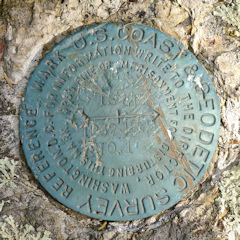
|
| LITTLE DEER ISLE RM 2 | Recovered | Good |
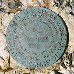
|
