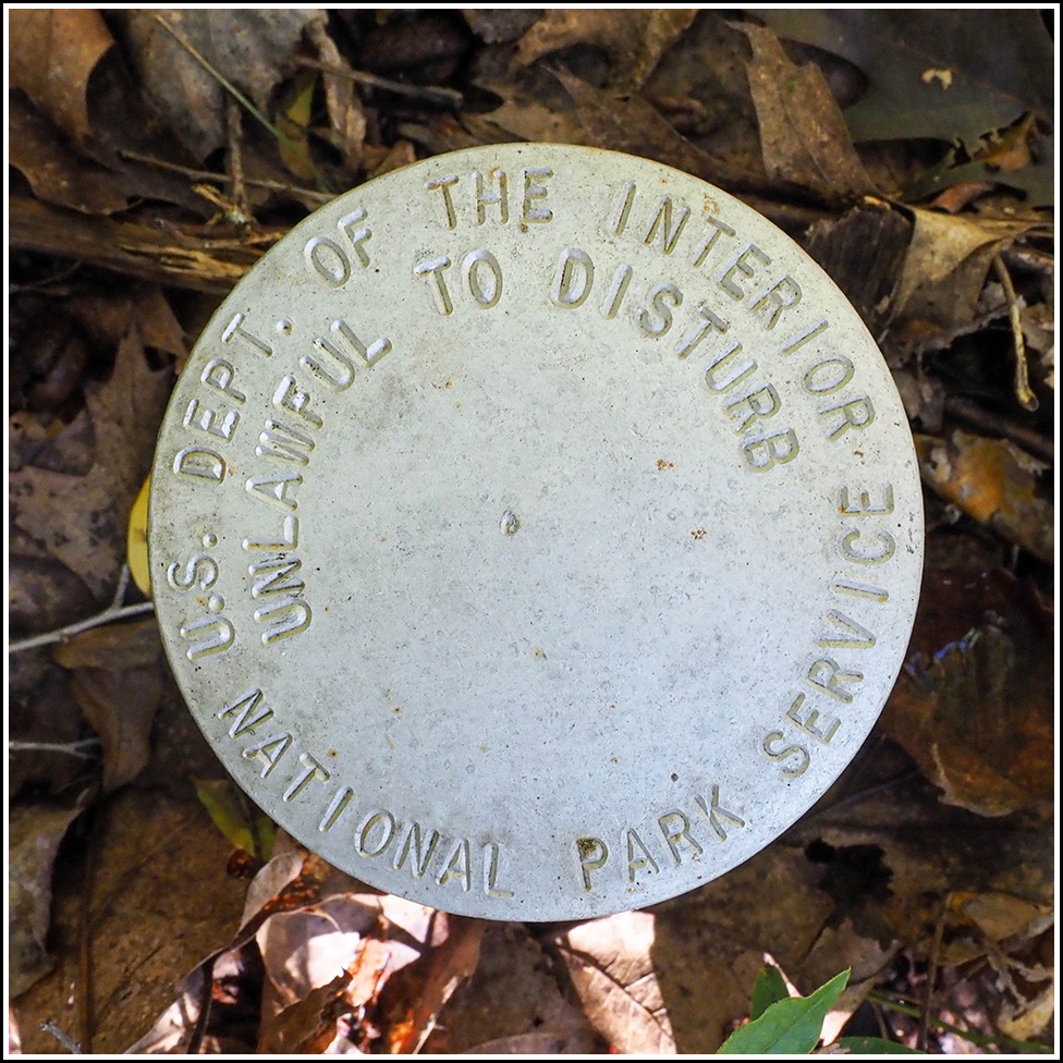
NPS (Unstamped, Acadia #11)
Recovered in Good Condition on September 17, 2023
Spatial/elevation data
| Coordinates | N 44.377668° W 68.305803° |
| Elevation | Unknown |
| Location | Maine
Hancock County Salsbury Cove Quad |
Mark description
| Type | Boundary Monument |
| Setting | Steel Pipe |
| Monumented | Unknown by National Park Service |
Narrative and photographs
This was the second of six boundary markers I came across on today’s hike in the Kittredge Brook Preserve. They were an unexpected bonus treat! This disk is in good condition, and very well concealed by brush. I only spotted it because of the adjacent orange witness post.
