Y 339
Spatial/elevation data
| Coordinates | N 40.73° W 74.006667° (estimate) |
| Elevation | 20.58 ft. |
| Location | New York
New York County Jersey City Quad |
Mark description
| Type | Bench Mark Disk |
| Setting | Concrete Wall |
| Monumented | 1952 by NGS |
| Description (NGS) | NGS Datasheet |
Narrative and photographs
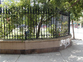
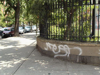
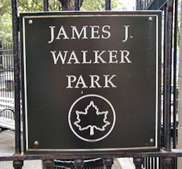
This mark appears to be lost. It is evident from the descriptions of this mark and KV0598 that both were set in similar concrete walls at opposite sides of the James J. Walker ballfield along Hudson Street. But the wall surrounding the field on its northwest corner has been replaced with a lower concrete wall which no longer matches the high, curving wall on the ballfield’s southwest corner. We searched all along the wall, walking Leroy Street from Hudson to 7th Avenue South, just to be sure. We found no sign of the mark.


