K 24
K 24
Spatial/elevation data
| Coordinates | N 44.351283° W 68.22655° |
| Elevation | 1529.961 ft. |
| Location | Maine
Hancock County Bar Harbor Quad |
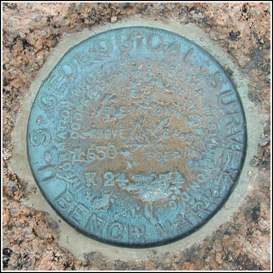
Mark description
| Type | Bench Mark Disk |
| Setting | Bedrock |
| Monumented | 1934 by USGS |
| Description (USGS) | Cadillac Mountain, on highest point of; 400 ft SW. of parking area; in ledge; 13 ft N. of tablet stamped “MT. DESERT 1856”; standard tablet stamped “K 24 1934” |
USGS recovery information
View reportNarrative and photographs
Nearing the end of the afternoon on this cool Saturday, our bellies full of lobster and beer (to keep us warm, naturally), we drove to the top of Cadillac Mountain for some easy sightseeing. It was meant to be a wind-down from our busy day, but I managed to make work out of it nevertheless. After attending to a desperate need to relieve myself as we neared the top, we three began to explore the pink granite ledges, fighting a chilling breeze the entire time. I first found and documented CADILLAC GROUND 1968, a curious twisted dog-excrement-shaped iron bolt set in a ledge just east of the parking area. Aaron succumbed to the cold and the lure of the gift shop (or possibly just an intense boredom with benchmarks), but Rich and I hiked south a few hundred feet intent on finding every disk in the MOUNT DESERT RESET group. We found the tri-station and its reference marks, and this USGS station was our bonus. It is mentioned but not referenced in the NGS description for MOUNT DESERT RESET, but doesn’t appear to have been used as either a reference mark or an azimuth mark. It was not until I returned from the trip and contacted USGS that I was able to obtain the official description.
The disk is in fair condition. The stamping can be read, but the disk is scratched and weathered. It marks the highest point of the highest mountain on the Atlantic coast of the United States.


(Recovered on September 12, 2002)
Originally logged on September 12, 2002, as part of PE1778 - MOUNT DESERT RESET.

