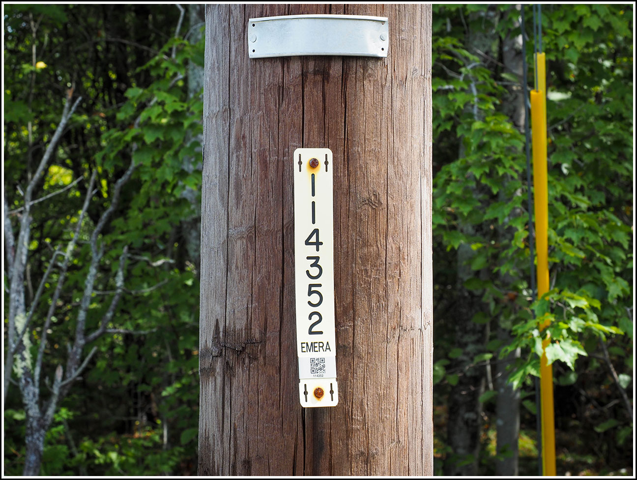
K 15

Spatial/elevation data
| Coordinates | N 44.27033° W 68.38494° (estimate) |
| Elevation | 43.666 ft. |
| Location | Maine
Hancock County Salsbury Cove Quad |
Mark description
| Type | Bench Mark Disk |
| Setting | Rock Outcrop |
| Monumented | 1934 by USGS |
| Description (USGS) | Northwest of the Bernard Post Office. 1.2 km (0.75 mi) North of the West Trenton Schoolhouse along a back road through a settlement known as “Kelly Town.” Near a deserted house. The station mark is a standard tablet, stamped…K 15 1934…, set in a boulder. It is: 21.3 m (70 ft) East of the road 29.6 m (97 ft) South of the Southeast corner of the house |
Narrative and photographs
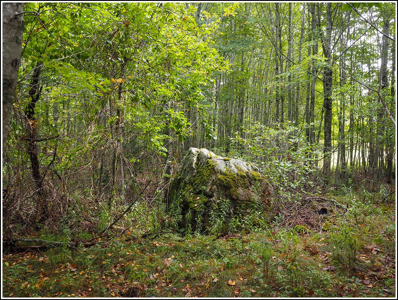
I don’t know why we had never searched for this mark, K 15, before; I’m sure I had noticed it on the USGS datasheets, but I guess we just never got around to actually researching and looking for it. But when I recently checked the Google satellite view, I saw an obvious large boulder very close to where the coordinates should be, based on the topo map. Too good to be true? (Spoiler: yes) That seemed likely, especially since the boulder was about 20 feet farther away from the road than the description specified. But it was still worth investigating. Even if the boulder we could see on the satellite view wasn’t the correct one, there certainly might be another one nearby that was.
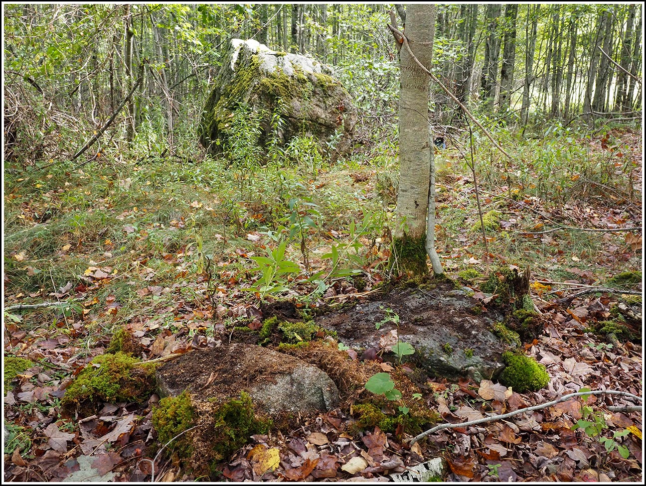
Kelleytown Road was pretty remote, as I had suspected, and we found easy roadside parking right near the location of the mark. Right from the road, we spotted a smaller, but still prominent, boulder that appeared to be just about the correct distance from the road, and we thought for sure that would be the one. But looking underneath the thick cover of moss we could see the entire surface of the boulder, and there was no mark on it.
Just for good measure we also checked the huge boulder we’d seen on the satellite and street views, but it was immediately clear that it wasn’t the right one. It didn’t appear exceptionally stable, and there were cracks and fissures in the boulder that made it an unlikely choice for a permanent setting.
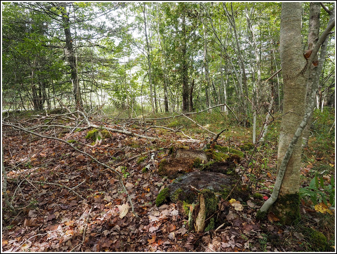
We spent at least another thirty minutes in the area, measuring from the road and checking every boulder, no matter the size, that we could find. It’s too bad there weren’t any other useful references in the description; the only other reference was to a house that was deserted when the mark was set in 1934, and it’s apparently completely gone now. Other than two deep pits that may have been cellars, I didn’t notice any evidence of human habitation there (no stacked stones, no bottles or cans). The description didn’t even specify the size of the boulder. Without much to go on, we decided to move along to the next mark on our list.