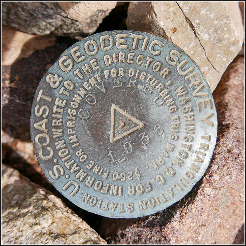
COVERED (DA1475)
COVERED
Spatial/elevation data
| Coordinates | N 32.166949° W 112.126846° |
| Elevation | 2524 ft. |
| Location | Arizona
Pima County Maish Vaya Quad |
Mark description
| Type | Triangulation Station Disk |
| Setting | Metal Pipe |
| Monumented | 1936 by NGS |
| Description (NGS) | NGS Datasheet |
Narrative and photographs
Today was our first transition day, going from Tucson to Ajo. We didn’t have anything particular in mind to do along the way, so I thought I’d see if there were a few benchmarks along Route 86. Were there ever! A quick glance at the map showed that they line the entire road. I selected three tri-stations for us to look for, plus one regular benchmark that served as a reference mark for one of the tri-stations. We were in for a special treat because of the crazy abundance of wildflowers blooming! They literally carpeted the land on either side of the road for dozens of miles with orange and purple, maroon, magenta, interspersed with yellow and white.
The first tri-station on our list was called COVERED, and it was the one with the corresponding benchmark on the south side of the road. We found a very convenient pulloff and walked a few feet into the cactus and desert overgrowth and found the station immediately. Rich wandered around while I was taking my photos, and he found another mass of concrete with what looked like a bolt in the middle with a punch in the top center. While reading the datasheet, we realized that this had to be RM 1, whose disk was noted as missing several years ago, with only the stem remaining. RM 2 was the other BM, P 37, located on the south side of the road. We found that easily too. Both the station and the benchmark (serving as RM 2) were in very good condition. Because RM 1’s disk is missing, I consider it in poor condition, although it would probably still be helpful in finding the station, should that be necessary in the future.


| Designation | Status | Condition | Image |
|---|---|---|---|
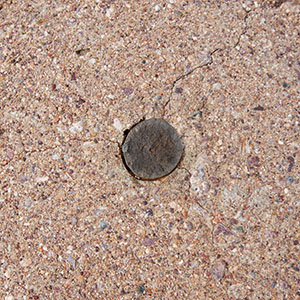
| COVERED RM 1 | Recovered | Poor |
|