F 308
Spatial/elevation data
| Coordinates | N 31.899472° W 112.8425° |
| Elevation | 1448.8 ft. |
| Location | Arizona
Pima County Lukeville Quad |
Mark description
| Type | Bench Mark Disk |
| Setting | Round Concrete Monument |
| Monumented | 1952 by NGS |
| Description (NGS) | NGS Datasheet |
NGS recovery information
Descriptive text
Recovered in good condition. The witness post still present.Narrative and photographs
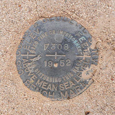
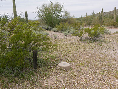
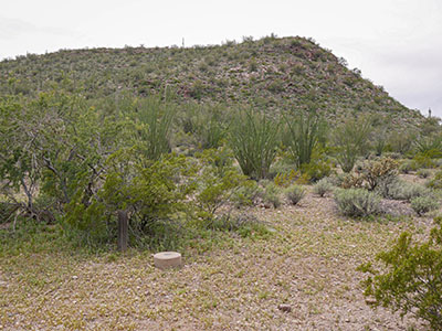
F 308 was the second find on our little trip along Puerto Blanco Drive today, as we made our way west toward Quitobaquito Spring. This was another easy find, assisted by accurate USGS coordinates and a concrete monument projecting several inches above the desert floor. The witness post is still in place too, although it’s becoming obscured by a nearby creosote bush that is overtaking it. The monument is still in the open, and the disk is in very good condition.
Although I didn’t know about it at the time, just south of here, toward the southern end of that high ridge that can be seen in the third photograph, is another US-Mexico boundary monument as well as a triangulation station (CH0179: BOUNDARY MON 168 ECC). Something to look for next time!


