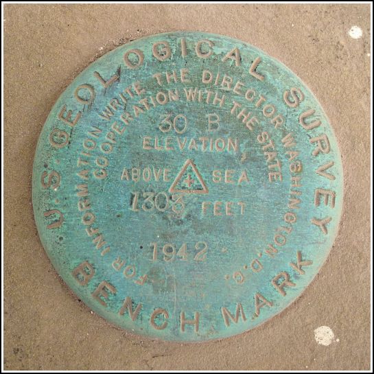
30 B
30 B
Spatial/elevation data
| Coordinates | N 41.35798° W 75.87842° |
| Elevation | 1302.760 ft. |
| Location | Pennsylvania
Luzerne County Center Moreland Quad |
Mark description
| Type | Bench Mark Disk |
| Setting | Stone Slab |
| Monumented | 1942 by USGS |
| Description (USGS) | Carverton, 1.8 mi NW. of, along Orange-Wyoming Highway; 190 ft S. and 70 ft E. of junction of rd. W.; at NW. corner of flagstone porch to memorial shrine; standard tablet stamped “30 B 1942 1303” |
Narrative and photographs
Next on our list on this increasingly chilly autumn day was 30 B, at a cemetery along West 8th Street (notice how we are working our way south toward Swoyersville. It’s all part of the plan.). The mark is set into the porch of a memorial shrine at—believe it or not—Memorial Shrine Cemetery.
At the time of our visit, some repairs were underway at the shrine. Dust covered everything, and tools were strewn around. In fact, there was a plastic sprinkler head resting on the mark when we found it. It’s set into the northwest corner of the flagstone porch, just as described. Note that the shrine is the larger building to the south near the “Memorial Shrine Office” sign and not the mausoleum that you pass along the driveway. The disk is in good condition and is easily accessible.


