Arrow Northeast of Low, UT
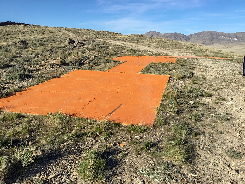
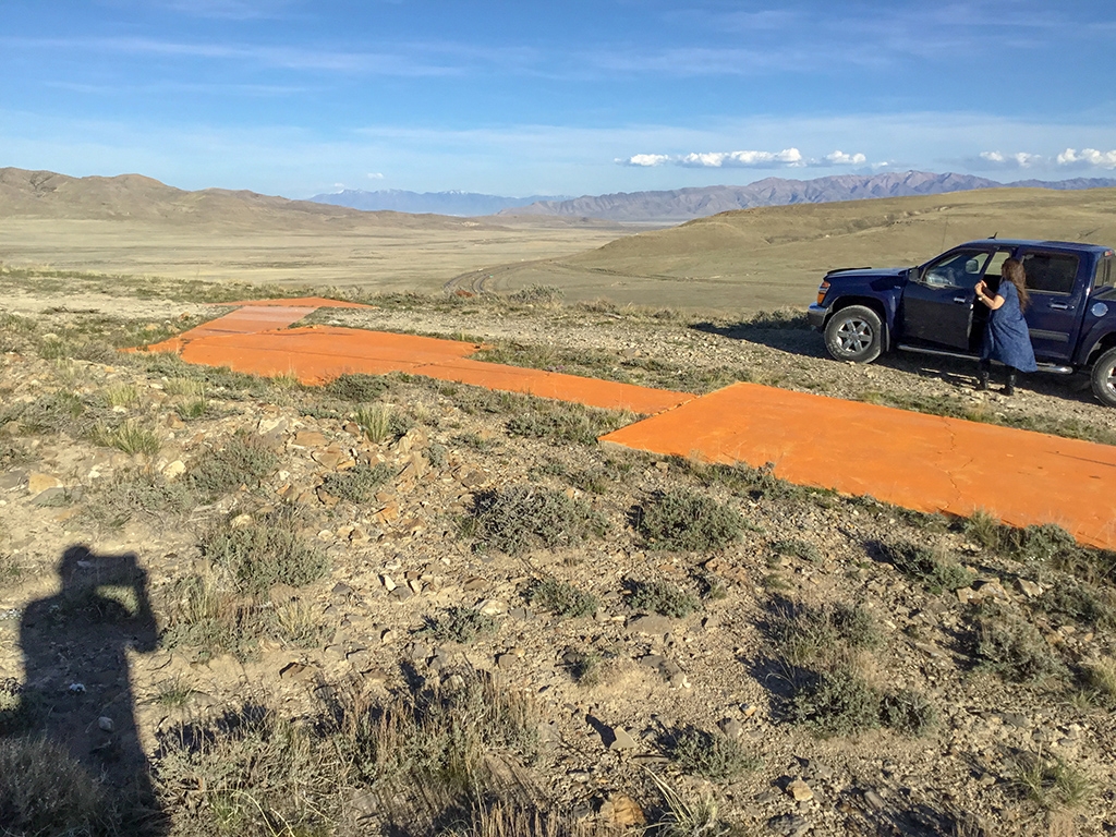
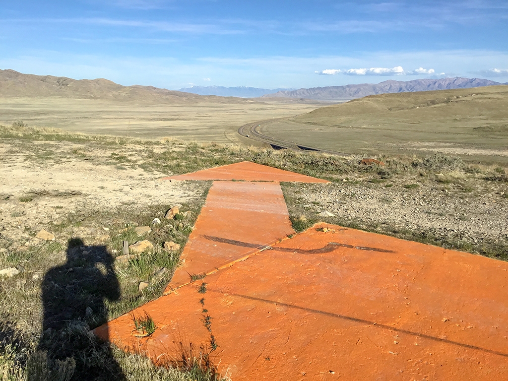
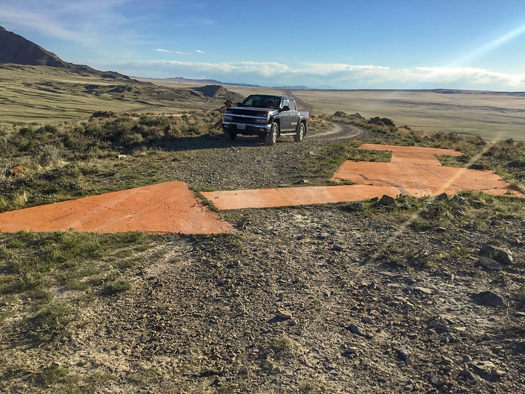
Dave Izatt has submitted the following photos of LP0496 - SAN FRANCIS SALT LK AWY BN 57. The tower is gone, but the arrow is intact. Dave says that a 4-wheel drive vehicle with high clearance is required to drive directly to the arrow.
The beacon tower’s description is difficult to find now, because it has been marked as Destroyed in the NGS database. Below is the original Coast & Geodetic Survey description written upon their observation of the site in 1940. Strangely, they claim “There is no concrete arrow to indicate the course.” Is this a mistake in the description? I can’t imagine the arrow having been added after 1940. Also of interest is that (according to Wikipedia) Low is a ghost town, abandoned in 1955 due to lack of local water.
ON A LOW RANGE OF HILLS E OF THE GREAT SALT LAKE DESERT. 28.5 MILES NW OF GRANTSVILLE, UTAH, AND 5 MILES NE OF LOW, UTAH. LOW IS PAINTED IN LARGE WHITE LETTERS ON THE SIDE OF THE HILL. AND ABOUT 0.8 MILE N OF U.S. HIGHWAY 40, ON TOP OF A SMALL HILL.
THE BEACON IS A STANDARD RED AND WHITE-STRIPED, ROTATING, AIRWAY BEACON, ABOUT 60 FEET HIGH. THERE IS A SUPPLY AND CONTROL HOUSE AND A LARGE RESIDENCE ON THE SIDE HILL, ABOUT 400 YARDS FROM AND 200 FEET BELOW THE BEACON. THERE IS NO CONCRETE ARROW TO INDICATE THE COURSE.
Thanks, Dave, for your contribution!


