- Coordinates:
- N 41.41° W 75.5828833°
- Location:
- Elevation:
- 1609.83 ft.

- Type:
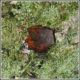
- Railroad Spike
- Setting:
- Tree
- Year Established:
- 1997
- Established By:
- PennDOT
- Status:
- Recovered
- Condition:
- Good as of June 29, 2005
-
Official PennDOT Description:
To reach bench mark RGH 17 from the Dunmore branch of the Scranton post office, follow Harper Street east for 0.3 km (0.2 mi) to E. Drinker Street (Rt. 435). Proceed on E. Drinker St for 2.4 km (1.5 mi) to Tigue Street. Take Tigue St until it ends, approximately 0.4 km (0.25 mi) at a gravel road. Follow the gravel road up the mountain approximately 0.9 km (0.6 mi) to PADOT waste area 1 and bench mark RGH 17 in a saddle at the end of two trails. Proceed east on the easterly trail up the mountain for 0.8 km (0.5 mi) to the bench mark on the left.
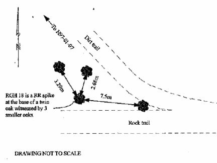
Please see: RGH 18
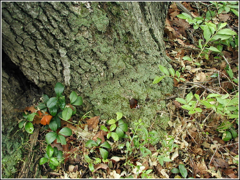
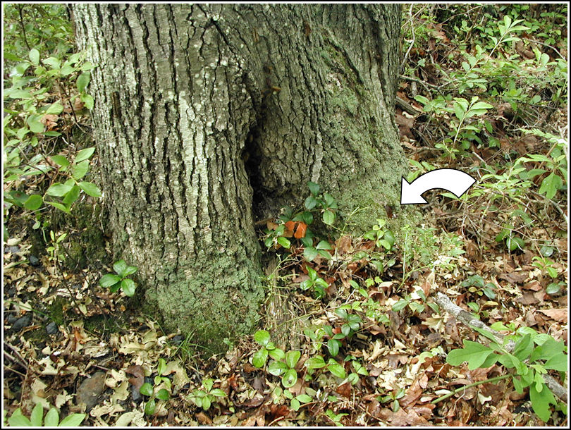
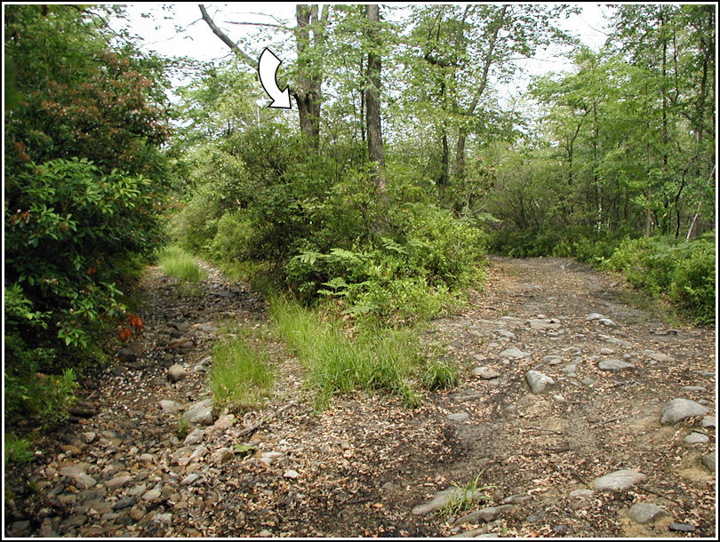
After finding RGH 17 on this lovely Summer morning, we continued along the trail to RGH 18. We both spotted the twin oak from a distance. The datasheet advises taking the trail on the left, though we came to this point via the trail on the right. (On the way from RGH 17 to RGH 18 the two trails diverge, but as you can see either will bring you to this mark.).
The mark (a railroad spike set in the tree's base) was easy to find and appears to be in good condition. The spike may be hard to spot if the vegetation grows higher, but it's deeply embedded and I doubt it's going anywhere. One problem, though: this tree is infested with gypsy moth caterpillars and is dying. Deciding to save RGH 19 for another day, we continued on a little further along the trail to the east, which then intersected a trail heading southwest. It was this trail that would bring us to RGH 24 and eventually back to our starting point.